


YouHike - Acadia National Park app for iPhone and iPad
Developer: Hawaii-Apps
First release : 30 Jan 2015
App size: 288.37 Mb
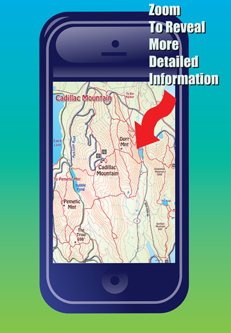
YouHike Acadia National Park offers 32 zoomable interactive trail maps of the state and National Parks around Mount Desert Island, in northern Maine.
With YouHike Acadia-National-Park you can:
* zoom in to present more detailed information.
* keep track of your location, even if you are out of cell phone range.
* record information about Points of Interest (POIs) you find along your hike. You can save and export your POI information as a text file, or send your POIs to other YouHike users.
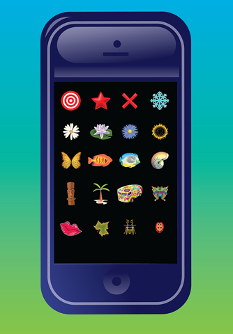
* customize your location and POI graphics with over 100 internal icons.
* download more icons from the youhikeapps.com website, or create and import your own icons.
* track your daily hike miles, save and email your stats.
* import your photos from your devices photolibrary and have them appear on-screen in the map location they were taken.
* send your location to other YouHike users.
* use iCloud to sync your POI data between your iPhone and iPad.
YouHike Acadia-National-Park covers over 150 miles of hiking and biking trails around Mount Desert Island and Acadia National Park including:
Acadia Mountain, Bar Harbor, Bass Harbor, Beech Mountain, the Beehive, Cadillac Mountain, Cadillac Mountain summit, the Carriage Roads, Champlain Mountain, Compass Harbor, Day Mountain, Dorr Mountain, Eagle Lake, Ellsworth, Frenchman Bay, Gorham Mountain, Great Head, Isle Au Haut, Jordan Pond, Mansell Mountain, Parkman Mountain, Pemetic Mountain, Penobscot Mountain, Schoodic Peninsula, Seal Harbor, Siur De Monts Spring, Swans Island, Wonderland & Ship Harbor.
**Continued use of GPS running in the background can dramatically decrease battery life.